|
|
|
|
Permission for display of these images and family history data has generously been given by the author, David Killicoat . You may download and view these pages for personal research purposes only. No further use or distribution is authorized. Page 1│Page 2 │ Page 3 |
|
|
|
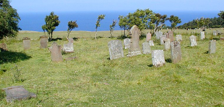
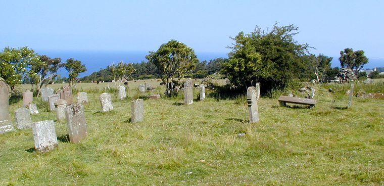
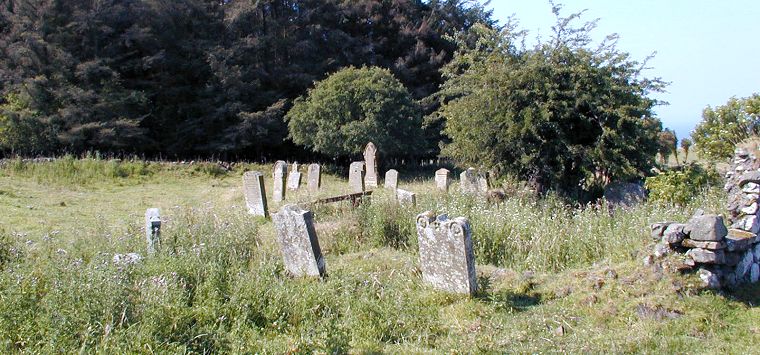
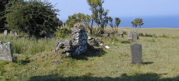
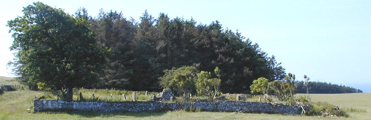
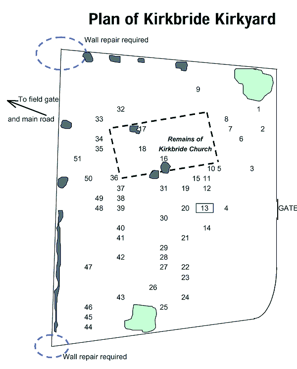
Kirkbride Kirkyard surrounds the ruins of Kirkbride Church. This burial ground over looks the cliffs of Dunure and Fifth of Clyde in South Ayrshire and is located a few miles northwest of Maybole - national grid reference NS 262 159. The cemetery was in use as late as 1913. Located in a cattle field, the cemetery is not maintained and has sadly deteriorated over time. In an effort to preserve something of these monuments David Killicoat has, with the assistance of other members of the Maybole Historical Society, recorded in photographs and transcriptions what remains today of the kirkyard. For an in depth history and background of Kirkbride by a respected expert in the local history read the account by Alastair Hendry. Presented here is a photographic record of the marked graves accompanied by family history information gathered in connection with the names and dates on the monuments. If you have information to add to the research gathered here please contact us so that we may share your information here for the benefit of other family and local historians. See more notes The Plan of Kirkbride Kirkyard to the left shows the layout of the burial ground around the ruins of Kirkbride Church. The numbers on the plan represent monuments which have been photographed and researched. |
|
|
|
|
|
|
|
|
|
|
|
|
Introduction Page 1 │Monuments Page 2 │Monuments Page 3 │Monument Number and Surname Index |
||
|
||