|
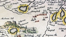
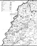
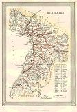
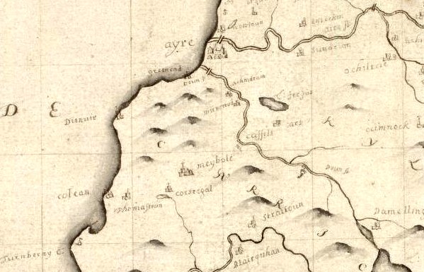
The map on the right is one of the first published maps of this part of
Scotland. It is based primarily on the work of
Timothy Pont. Timothy Pont, a
minister, was the pioneer Scottish cartographer. From 1583 on, he surveyed
the whole of the Scottish mainland and islands, apparently by himself.
Maybole can be seen in the middle of the map and was at
that time know as Minnyboll. Click on the map or here to view the image
and a detailed description of it. Contributed by Simon Mayers of
www.classicalimages.com
- Antiquarian Maps, Prints and Books |
 |
|
|
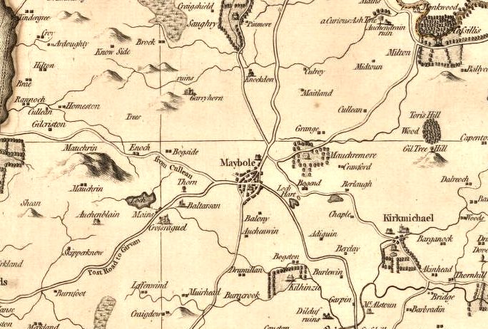
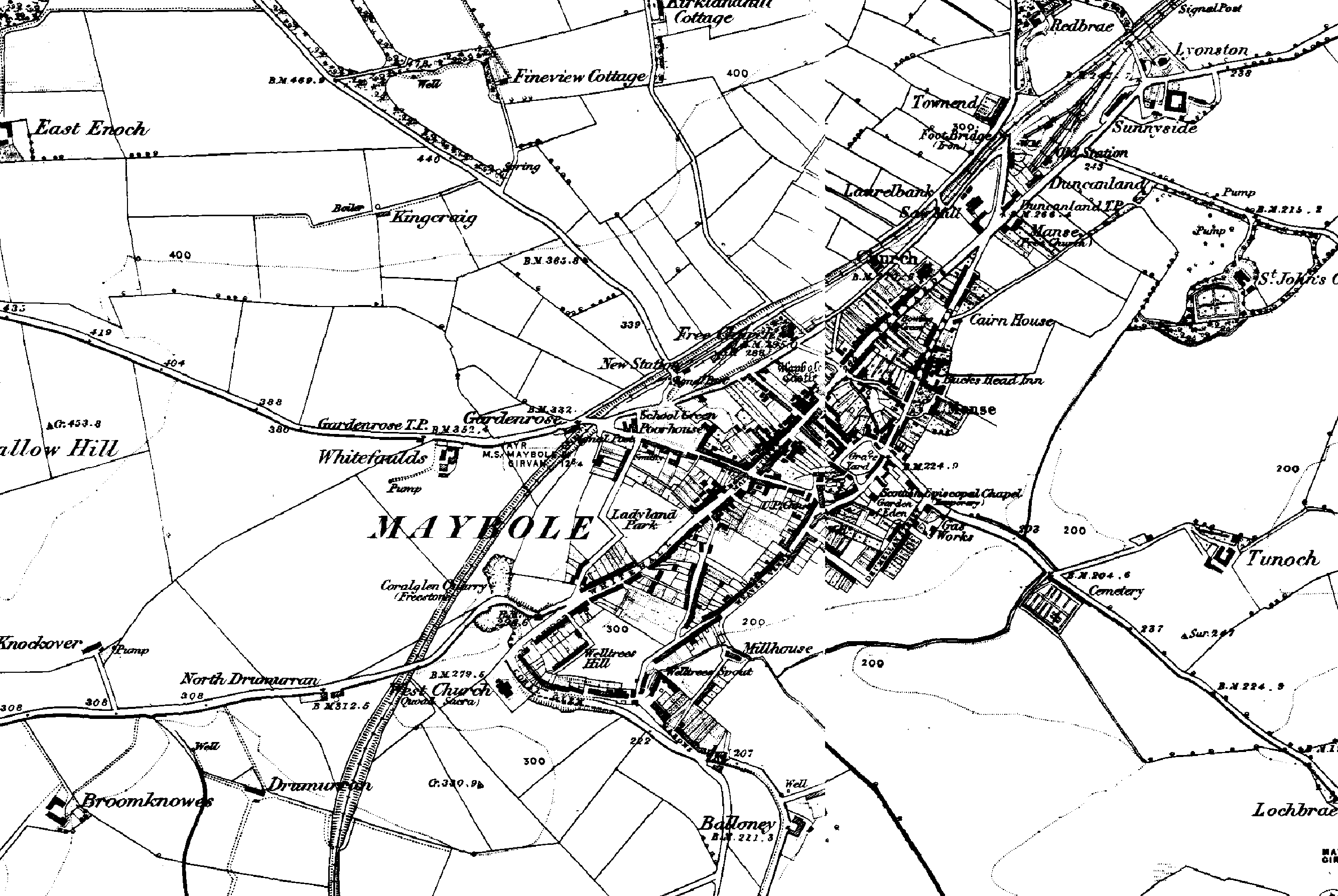
Maybole
maps: 1654 │ 1686 │ 1745 │ 1775 │ 1856 │ More maps from 1636 to 1828 from National Library of Scotland
|
|
Place Names of Carrick by Catherine Lucy Czerkawska
Place names are like little gems,
dotted about the landscape. They have complicated interiors, and
sometimes turbulent and stressful histories. They are always descriptive
and usually accurate but only if you can figure them out. They are like
a host of little puzzles. They reflect the history of an area; and
looked at in conjunction with one another they paint a picture as surely
as any contemporary account. And you make arbitrary changes to them at
your peril. |
|
|
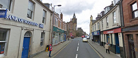
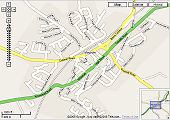
Google
now has the Street View available for Maybole. Walk or drive the
streets, pan up and down, zoom in or out or place a figure on a map
to go directly to a location. These functions and more make getting
around Maybole from a virtual perspective easy than ever before.
Give it a drive! |
 |
|
|
|
|
|
|
|
|
|
|
|
|
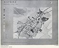 |
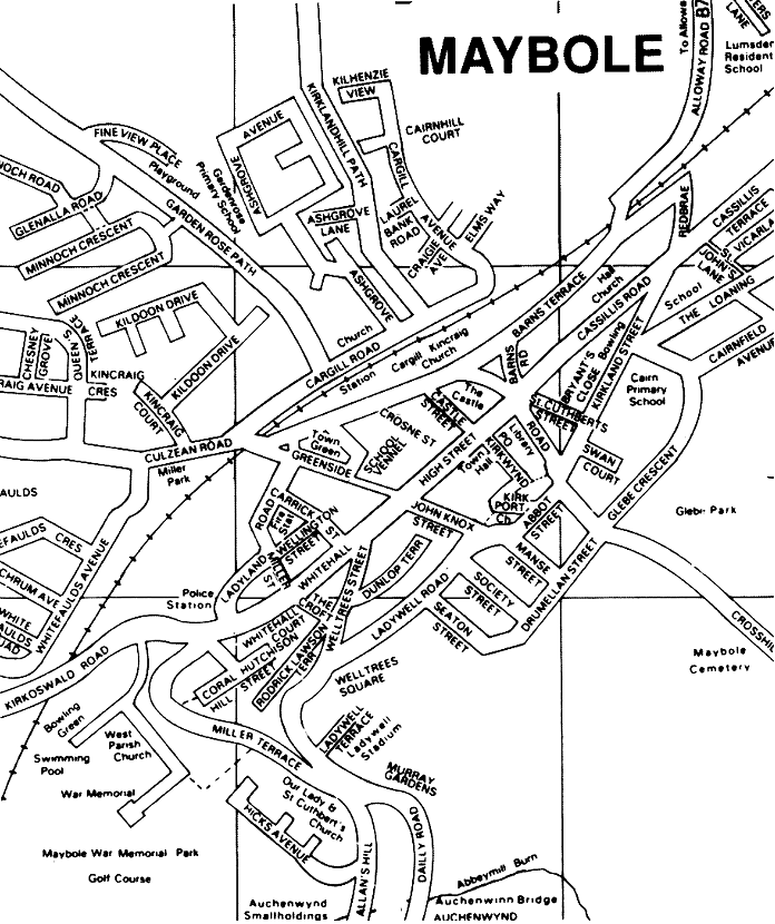
A land
use study of the town of Maybole published in the 1958-59 Glasgow
School of Architecture by Ratneswar Bose for his Town Planning Post
graduate course. Contributed by Ronald Stirling.
Click here for more. |
 |
|
 |
 |
 |
 |
|
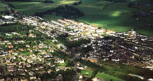
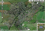
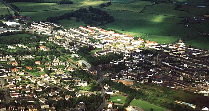
Aerial
Photo of Maybole
by Brian Wotherspoon |
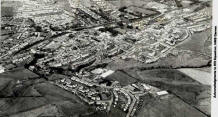
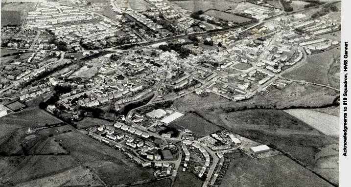
Aerial
Photo of Maybole
819 Squadron, HMS Gannet |
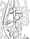
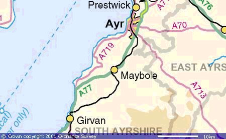
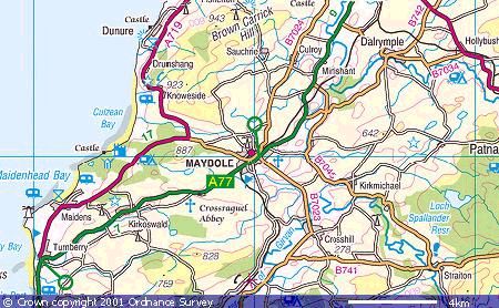
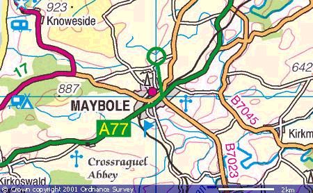
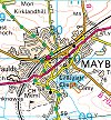
The maps above are linked
to descriptions and photos of sites in
Maybole. Produced by May
Tag Ltd . Description of Maybole streets here. |
|
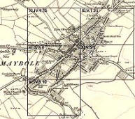
Click on the maps below to view them full size.
|
|
 |
 |
 |
 |
 |
 |
|
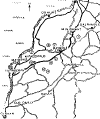
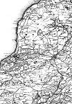
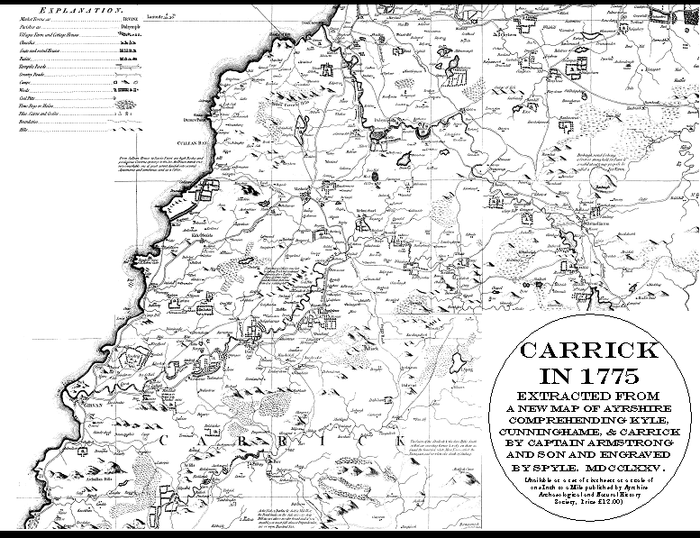
1775 Armstrong Map |
Ordnance Survey Map of 1849-57 |
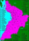
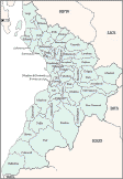
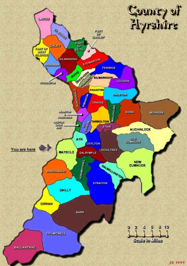
Parish Map of Ayrshire
Maybole is No. 31 |
Parish Map
Courtesy of Jim Rouse |
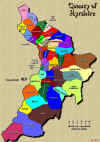
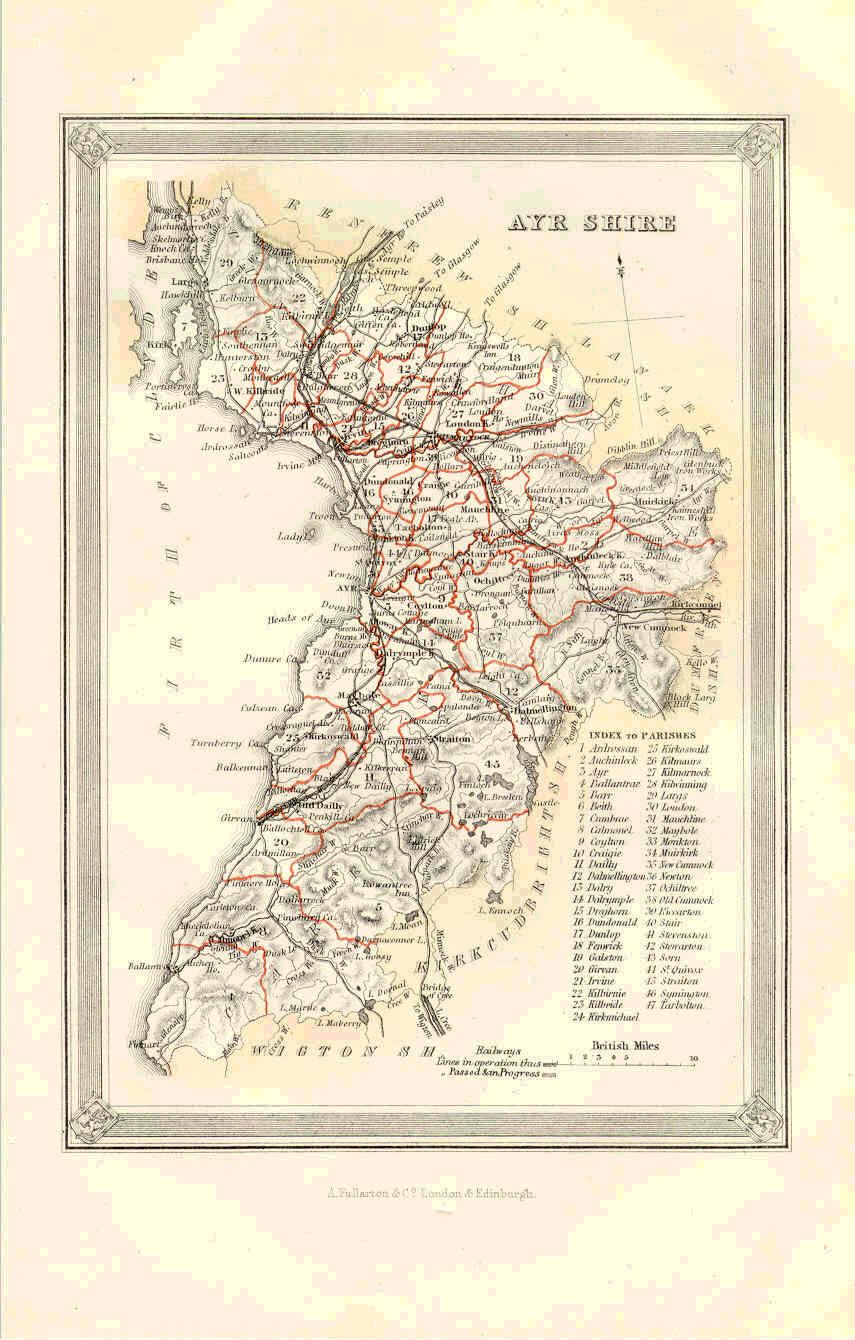
Parish Map of
Ayrshire from the Imperial Gazetteer 1895. |
Outline of Ayrshire parishes created
by Irene Mitchell |
|
|
|
|
|
|
|


